Jennifer and I walked to school when we lived in the log home that our family built… and it was uphill both ways in the snow. Okay, not all of that is true. We really didn’t walk ALL the way to school. We only walked to the bus stop, but that was at least a three mile walk (depending on which way we went) and there wasn’t always snow. But, it was partly uphill both ways… and partly down hill. We had two alternatives for the hike, both with their own advantages.

The Main Route
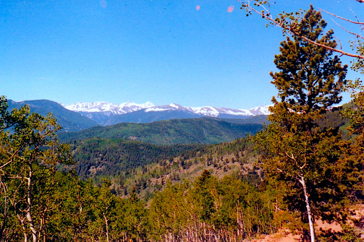
Officially our bus stop was 2.15 miles from the house (the blue marker). This walk required us to walk to the top of the hill from the house less than 1,000 linear feet. Then it was “mostly” down hill from an elevation of 9,640 to roughly 8,800. Of course, nothing is truly all down hill when you live in the Rockies. In the winter time steps that might have been downhill in the summer become uphill over a large snow drift.
We usually walked this way in the late spring and early fall before the snows really set in. Honestly, it was a very pleasant and beautiful walk. Once we got over the hill we walked a ways down a real dirt road through tall pines. The track then meandered at the side of a meadow and then turned into a cattle trail. At this point we crossed a creek and traveled on the side of the mountain with the southern exposure; which meant less snow. After awhile we would walk through Aspen trees which in the fall were absolutely gorgeous with their coin sized gold leaves quaking in the sun.
Then it was time to cross the creek again and walk through the pine forest and down a much steeper grade which finally met up with another four-wheel drive track that led to the main dirt road where our bus stop was. The first year we lived in “the boonies” this was always the way we walked to school. In the winter we wore snow shoes that allowed us to walk on the top of the drifts. Once we got to the bus stop we removed the snow shoes and stored them in the back of the bus until we made the return hike.
The Secondary Route
Once other folks with school-age children moved nearby we started taking this longer route to school. Jennifer and I walked near their house and they would meet up with us for the hike. From our house to the other bus stop it was 3.6 miles (the green marker); nearly 1.5 miles further than our other route. Advantages though where that Ronald and Rusty Stringfellow walked with us, it relieved some of the monotony of putting one foot in front of the other and with other families living in the “neighborhood” there was a higher likelihood of getting a ride from one family or another.
For this hike we followed the road the whole way. Of course road may be a misnomer because it was mostly a four-wheel drive track over rocks, but at least it was pretty well worn. We traveled past the Stringfellow’s house on Lloyd Hill, past Pisgah Lake and then down the hill to the upper parts of Columbine Campground. Once we got to the campground itself we reached a maintained road that was mostly plowed during the winter.
Another distinct advantage of this route was that sometimes we could ride the snowmobiles in and park them at the Boodle Mine (where the bus stop was). Then they would be available for the ride home too.