Each year, during the height of the “Aspen season”, fluorescent signs with arrows would appear like magic leading away from Central City.

This was “The Aspen Trail” – Known to every local merchant and a lifeblood of the fall sales. Tourists from all over came to our little city to see the historic town and drive through the mountains to view the majestic fall colors of our Aspen trees.
When shoppers would ask “hey where’s the best place to see Aspen trees.?” Every local merchant would explain about the Aspen trail and point them to the fluorescent arrows leading out of town. Either up Gregory Street or continuing on Main “you really can’t miss it”.
Let’s continue up Main past the old Jailhouse and the Belvidere Theatre. This is to the right of the Big T (triangle lot) and continuing past the mine tailings that make up the first and second “free parking” lot.
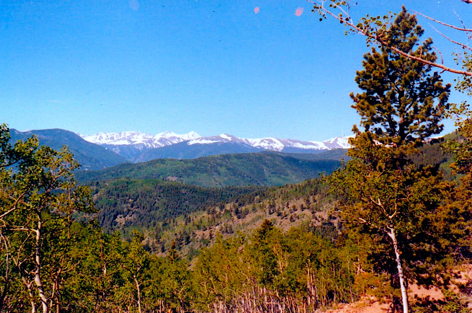
Trees are really everywhere now, many pine, but as you climb higher, the view opens up with meadows and more Aspen. So many coin-shaped leaves in so many colors. Really, it is impossible to describe. If you are lucky enough for a breeze, they dance across your field of view and quake.
Next you will pass through Nevadaville, an old ghostown. First with an outhouse on your left, the only bathroom for the nearby ‘rock house’. The mayor lives there, he’s the only year round resident in this town with a population of one. His general store is on the right, then you pass a couple of fallen down buildings and you are out of the town.

Not only can you take in the nearby trees, but you can also see giant patches of yellow, gold and orange in misshaped swaths across the mountain you are heading toward. Bald Mountain, by name.
Now into the pine again and seeming to crest at a rise in the elevation, there is a small road to the left, but the arrows point ahead. A home on the right can be seen through the woods as you continue through the forest. Finally it opens out into an open area with numerous meadows and another dirt road coming in from the left. Bald Mountain Road.
Oh? Did I mention the dirt road?
You’ve been driving on a dirt road since you passed the Belvidere Theatre back in “the city”!
The fluorescent arrows continue toward the meadows where Aspen can once again be seen up close and on the more distant mountains. To the left a beautiful home tucked into the trees and overlooking the these natural open areas. The owner contracted the construction of this home to the man my dad worked for, Greg Heltzer. This meant that I spent many days at that house with the two of them.
Continuing through the meadows known as King’s Flat you can see magnificent Aspen trees up close near the edge of the road and further off in the distance. As someone who lived there though, it was just “on the way to work”.
At the end of the meadows another home through the trees to your left could be seen. This one with a trampoline. My sister and I were allowed to jump on it anytime we wanted (in the summer) while we lived in the Buck House.
A sharpish turn to the left, then downhill. Not steep, but definitely downward brings you to a switchback very sharply to the right.
Finally at the bottom of the hill with a barn on your left you cross a small stream and see a blue ‘ranch house’ belonging to the barn.
Honestly, the view is amazing any time of year, but the signs press to continue past the Boodle Mine to your right and “are those really old cemeteries to the left?”
Down the valley and past an old fallen down brewery to your right… now a huge stone house in the distance on your left… suddenly a right turn only, past where ‘Tiner, the Pipemaker’ lived. You might have seen some of his work in ‘the city’.
Once the road becomes a two-way, it’s the Bennoint House on the right, the Sauer House on the left and then you are back in Central City ready to quench your thirst, assuage your hunger or shop just little more.
